
Common raster import problems
The messages Orbis3D shows when a DEM cannot be opened or looks wrong, what they mean and how to fix the file.
You will learn
- Understand import error messages.
- Recognise wrong NoData, units and georeferencing.
- Fix files with GDAL when needed.
Prerequisites
The task
A DEM does not open, or opens but looks wrong. You want to know why and how to fix it.
When a file cannot be opened
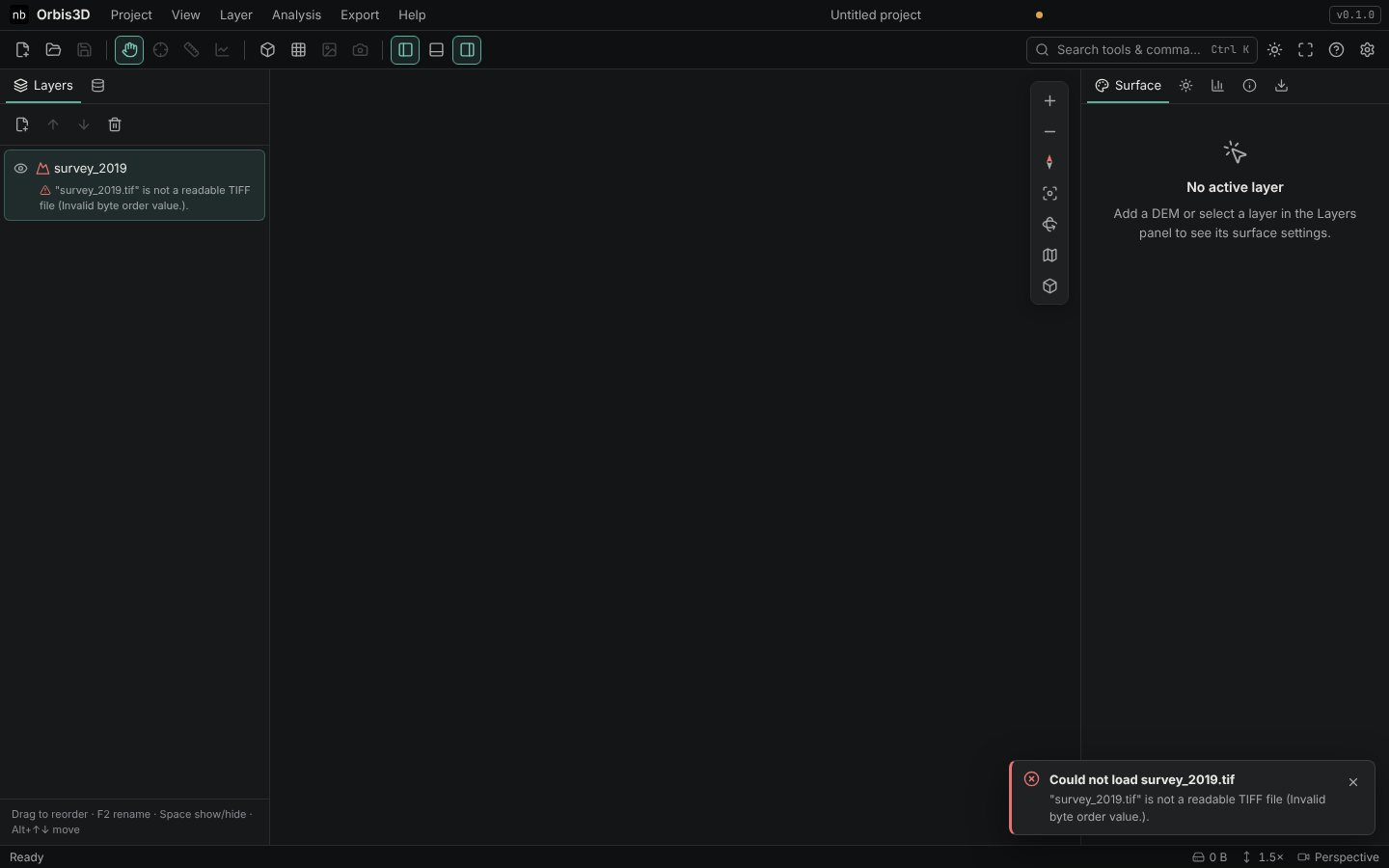
The layer appears in red with the reason, and a message is shown.
| Message | Meaning and fix |
|---|---|
| … is not a readable TIFF file | The file is damaged, incomplete or not a TIFF despite its name. Download it again. |
| … uses JPEG 2000 compression, which Orbis3D cannot decode | Recompress: gdal_translate in.tif out.tif -co COMPRESS=DEFLATE. |
| … is rotated or sheared | Make it north-up: gdalwarp in.tif out.tif. |
| … stores complex numbers | The band is not elevation (radar data, for example). Choose another file. |
| The ASCII Grid is incomplete | The header promises more values than the file has. The file was cut off. |
| … contains a value that is not a number | A typing or export error in the text grid. |
| The ASCII Grid header must give integer NCOLS and NROWS | The header is missing or damaged. |
| … is not named like an SRTM tile | HGT files need their tile name (N30E079.hgt) because the location is only in the name. Rename the file. |
| … is not a square grid of 16-bit samples | The file is not an SRTM tile, or is damaged. |
| … is empty | The file has no content. |
| … is not supported | The format is not one Orbis3D reads. See Supported formats. |
Remove the red layer with the bin button or Delete.
When a DEM opens but looks wrong
| What you see | Cause | Fix |
|---|---|---|
| Deep pits or a wall around the data, minimum -9999 or -32768 | NoData not declared | Info ▸ NoData ▸ Use as NoData, then Apply |
| A frame of zeros forms a cliff | Zero used as NoData | Set NoData to 0 |
| Message "looks like a colour image" | RGB image opened as a DEM | Drape it instead (Texture draping) |
| Message "No georeferencing found" | TIFF without coordinates | Add a world file, or set the cell size in Info ▸ Units and scale |
| Yellow note "Check the units" | No .prj, coordinate system unknown |
Drop the .prj with the DEM, or set the units (Coordinate systems and units) |
| Slopes far too steep | Elevations in feet treated as metres | Info ▸ Units and scale ▸ Elevation unit |
| Second DEM shown beside the first | Different coordinate systems | Reproject one of them with gdalwarp -t_srs |
Checking a file with GDAL
If you have GDAL, gdalinfo -stats file.tif prints the size, coordinate system, NoData value and statistics. Orbis3D's Info tab should show the same values.