
Importing your first DEM
Open an elevation model by drag and drop, with Open files or from the sample data, and check that it loaded correctly.
You will learn
- Open a DEM in three different ways.
- Recognise the preview and refinement steps.
- Check the layer's size, cell size and coordinate system.
Prerequisites
Data for this tutorial
Sample valley DEM (synthetic) Download orbis3d-sample-valley.tif
- Format
- GeoTIFF, 1 band, Float32, Deflate, tiled
- CRS
- EPSG:32643 (WGS 84 / UTM zone 43N)
- Content
- Elevations 419.5 to 1452.5 m; NoData -9999 in the south-west corner
- In Orbis3D
- Data panel ▸ Sample data ▸ Sample valley DEM (synthetic) ▸ Load
- Licence
- Synthetic, CC0 1.0
Synthetic samples are CC0 1.0; the SRTM sample is public domain. About the datasets
The task
You have a DEM file, for example a GeoTIFF from a survey, and want to see it in 3D. In this tutorial you open the sample valley DEM, a 480 × 360 cell GeoTIFF with 30 m cells.
Steps
- Download
orbis3d-sample-valley.tifwith the button above, or use the copy built into Orbis3D (step 3). - Open Orbis3D and do one of the following:
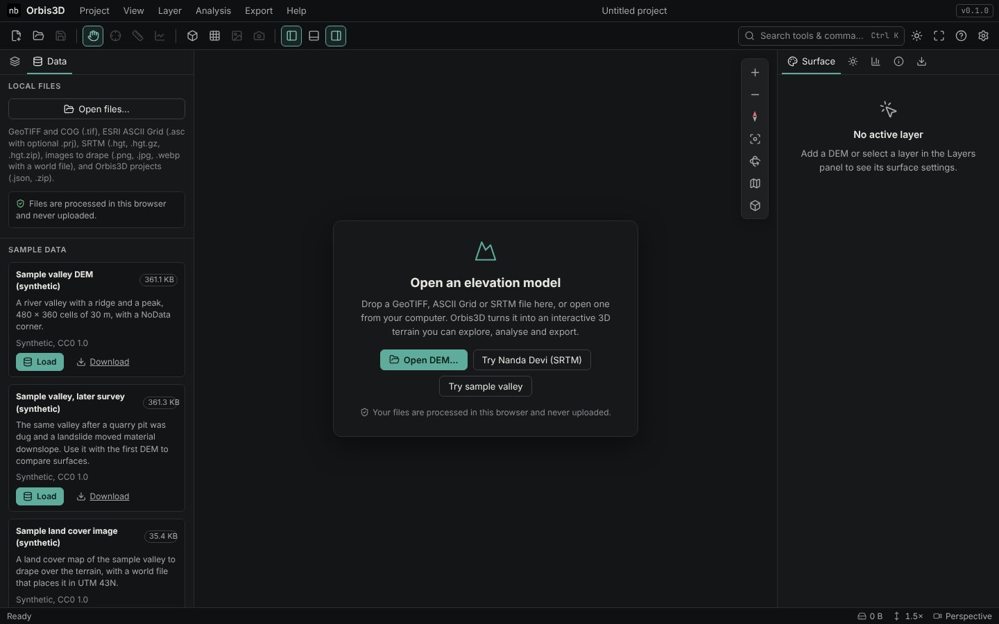
- Drag and drop. Drag the file from your file manager onto the viewport. A dashed frame shows where to drop.
- Open files. Click Open DEM… in the viewport, the folder button in the toolbar, or Project ▸ Open files… (Ctrl+O), and choose the file.
- Or use the sample: open the Data tab of the left panel and click Load under Sample valley DEM (synthetic).
- Watch the layer in the Layers tab. Orbis3D first reads a small preview, shows it, then refines it to the working resolution. A progress bar runs under the layer name while it loads, and a Preview badge shows while the preview is displayed.
- When the status bar says Ready, read the line under the layer name:
480 × 360 · 30 m · EPSG:32643. That is the size in cells, the cell size and the coordinate system.
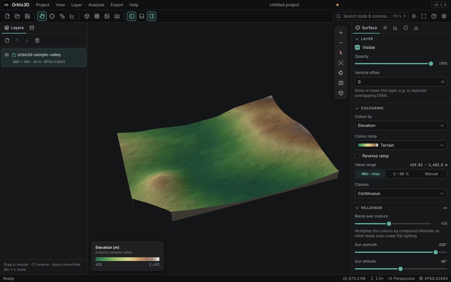
One layer called orbis3d-sample-valley in the Layers panel, a 3D terrain with a winding valley, a ridge in the north-east and a peak in the south-west, and a legend from 420 to 1,453 m. The south-west corner is cut off: those cells are NoData (see Understanding DEM metadata and NoData).
Common mistakes
- Dropping the DEM without its .prj. An ASCII Grid without its
.prjhas no coordinate system. Orbis3D warns you and assumes metres; drop both files together. - Opening a colour image as a DEM. A satellite image GeoTIFF opens with a warning that it looks like a colour image. To lay an image over terrain, see Texture draping.
Troubleshooting
- Nothing happens on drop. Make sure you drop onto the viewport. Unsupported files produce a message listing the supported formats.
- An error appears. See Common raster import problems.