
Vertical exaggeration
Stretch heights to make subtle relief visible, choose a sensible factor, and understand what exaggeration changes and what it does not.
You will learn
- Change the vertical exaggeration with presets, the slider, a number or the keyboard.
- Choose a factor for gentle and for steep terrain.
- Know which results exaggeration affects.
Prerequisites
Data for this tutorial
Sample valley DEM (synthetic) Download orbis3d-sample-valley.tif
- Format
- GeoTIFF, 1 band, Float32, Deflate, tiled
- CRS
- EPSG:32643 (WGS 84 / UTM zone 43N)
- Content
- Elevations 419.5 to 1452.5 m; NoData -9999 in the south-west corner
- In Orbis3D
- Data panel ▸ Sample data ▸ Sample valley DEM (synthetic) ▸ Load
- Licence
- Synthetic, CC0 1.0
Synthetic samples are CC0 1.0; the SRTM sample is public domain. About the datasets
The task
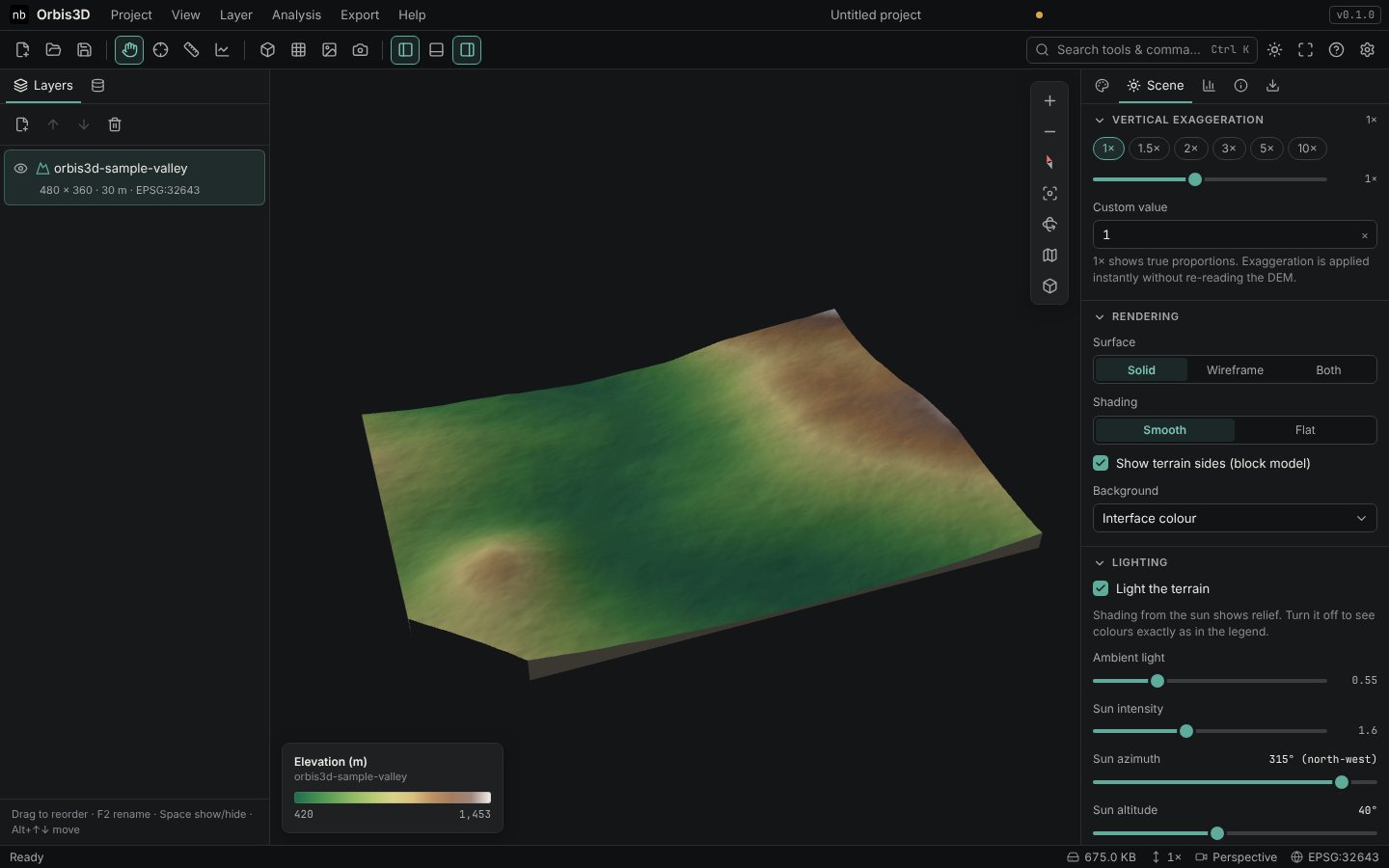
The sample valley rises only about 1,000 m over 14 km. At true scale the valley sides look almost flat. You want to stretch the heights so the landform is easy to read.
Steps
- Load the sample valley.
- Open the Scene tab. Vertical exaggeration is at the top; Orbis3D starts at 1.5×.
- Click the 1× preset. This is true scale: one metre up equals one metre across.
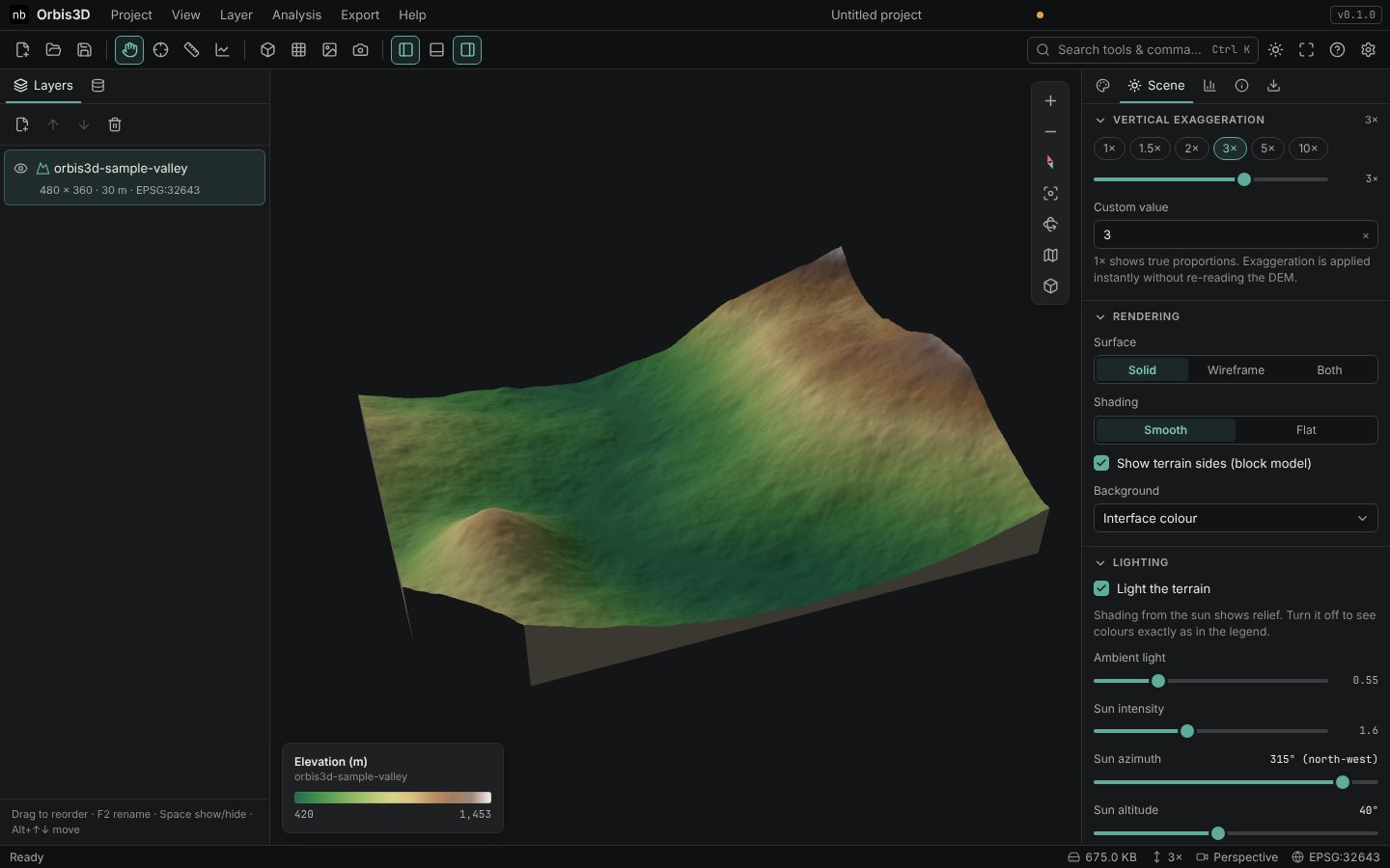
- Click 3×. Heights are tripled; the valley and the ridges stand out clearly.
- Try the other presets (1.5×, 2×, 5×, 10×), drag the slider (0.1× to 20×), or type any value in Custom value, for example
2.5. - Use [ and ] to step down and up through the presets. The status bar always shows the current factor.
Choosing a factor
| Terrain | Typical factor |
|---|---|
| Steep mountains (Nanda Devi) | 1× to 1.5× |
| Hills and valleys | 2× to 3× |
| Plains, floodplains, coasts | 5× to 10× or more |
What changes and what does not
Exaggeration only changes the display and exported 3D models (GLB, glTF, OBJ include it in the heights). It does not change the data or any analysis: slope, aspect, hillshade, contours, profiles, distances and statistics always use true elevations.
## Expected resultThe terrain changes height instantly, without reloading the DEM, and the status bar shows the factor.
Common mistakes
- Expecting steeper slope values. Slope is computed from true elevations; exaggeration has no effect on it.
- Forgetting it in exports. A GLB exported at 3× keeps 3× heights. Set 1× before exporting a model for measurement.