
Exporting GLB models
Export the terrain as a glTF 2.0 model (GLB or glTF) with its colours, sides and contours, choose units, and open it in Blender or a 3D viewer.
You will learn
- Export a GLB or glTF model with textures.
- Choose the layers, units and contents of the model.
- Know how the model is oriented and scaled.
Prerequisites
Data for this tutorial
Sample valley DEM (synthetic) Download orbis3d-sample-valley.tif
- Format
- GeoTIFF, 1 band, Float32, Deflate, tiled
- CRS
- EPSG:32643 (WGS 84 / UTM zone 43N)
- Content
- Elevations 419.5 to 1452.5 m; NoData -9999 in the south-west corner
- In Orbis3D
- Data panel ▸ Sample data ▸ Sample valley DEM (synthetic) ▸ Load
- Licence
- Synthetic, CC0 1.0
Synthetic samples are CC0 1.0; the SRTM sample is public domain. About the datasets
The task
You want a 3D model of the sample valley, coloured as on screen, to render in Blender or to share as a single file.
Steps
- Load the sample valley and set it up as you want to see it: colours, hillshade blend, a draped image, contours and the vertical exaggeration (2× for this valley, for example).
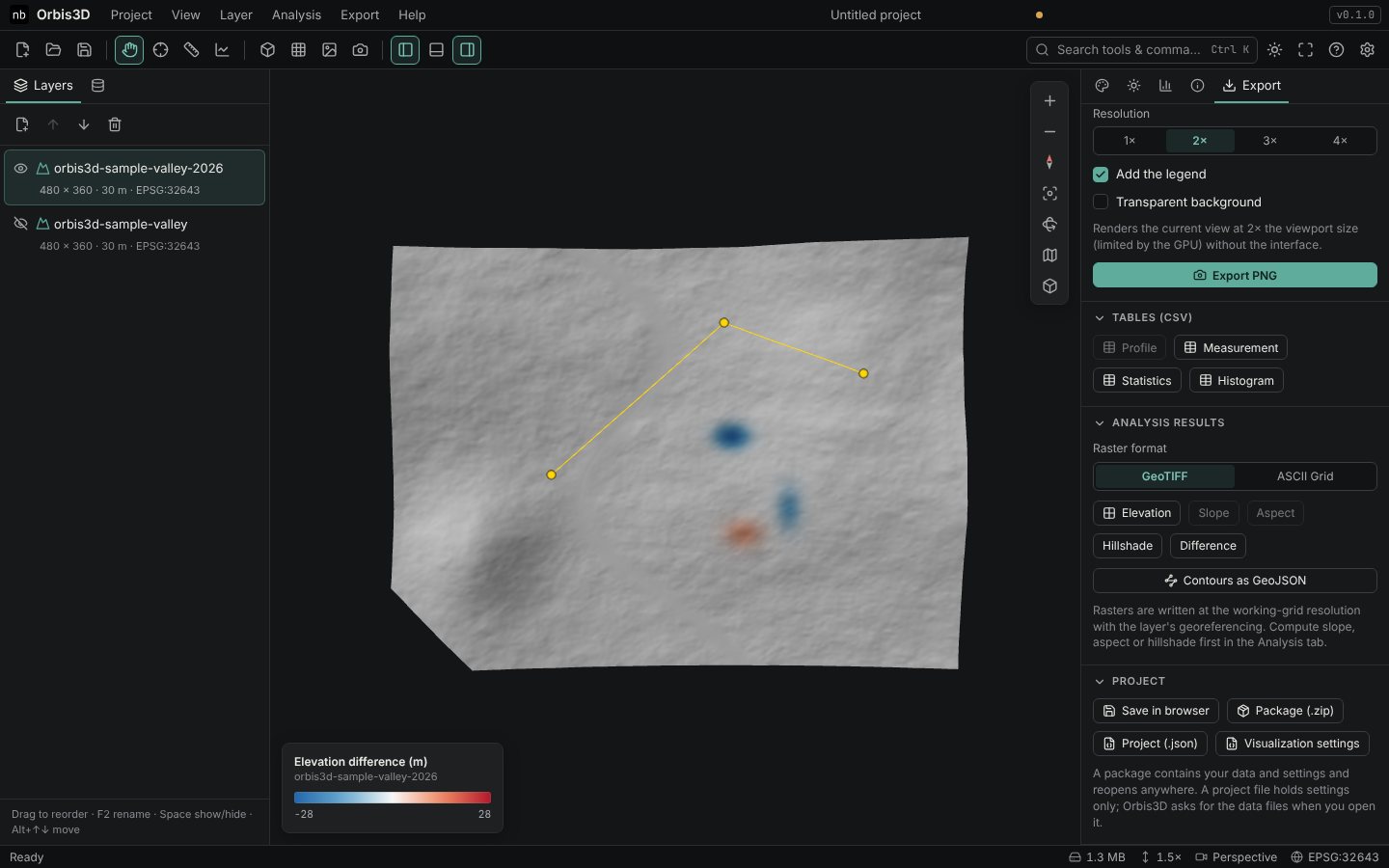
- Open the Export tab and go to 3D model.
- Choose the options:
- Layers: All visible or only the Active layer.
- Units: Metres (real scale), Kilometres, or Fit to 1 (the longest horizontal side becomes 1 unit, convenient for 3D printing or game engines).
- Include the surface colours as a texture, Include terrain sides and Include visible contour lines.
- Click GLB for a single binary file, or glTF for a JSON file with embedded data. The file is saved to your downloads folder and a message gives its size and number of triangles.
- In Blender, use File ▸ Import ▸ glTF 2.0 and select the file.
What the model contains
- One mesh per layer, made of the finest level of detail, with normals and texture coordinates.
- A material with the layer's current colours as a PNG texture (including hillshade blend and draped image), or the solid colour.
- Optionally the terrain sides (grey) and the contour lines as line geometry.
- Orientation: Y is up and −Z is north, as glTF requires. The model is centred on the scene: its origin is the centre of the first layer, not a map coordinate.
- Heights include the current vertical exaggeration.
A GLB of the valley that opens in Blender, online glTF viewers or other 3D software with the same colours as in Orbis3D.
Common mistakes
- Exaggerated heights in a measured model. Set the exaggeration to 1× before exporting a model that must be to scale.
- Huge files. A million-vertex mesh with a 4,000-pixel texture makes a large file. Lower Settings ▸ Mesh detail, or export only the active layer.
- Lost map position. glTF has no coordinate system. Keep the DEM or a GeoTIFF export if you need georeferencing.